 LoreRoad
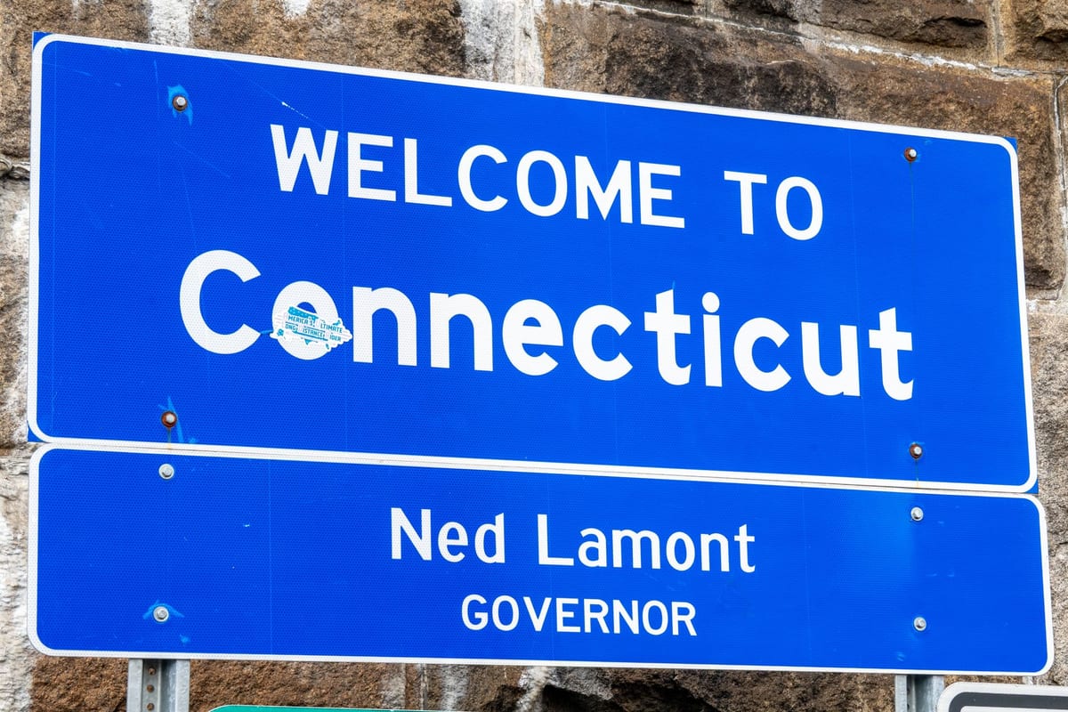 Photo by Beth Fitzpatrick · CC Pexels License undefined
Can you drive coast‑to‑coast and unlock a 50‑states achievement without long detours? A planner
Practical routing, crossing points, and logging tips to rack up state‑visit achievements without padding your odometer.
Your goal: coast‑to‑coast, maximum states, minimum fluff
You’ve got a cross‑country route you actually want to drive. The game: earn a 50‑states achievement without adding a bunch of vanity miles. This plan gives you the routing habits, specific crossings, and logging tips to make states “click” while you stay on schedule.
How state visits get logged in the app
The app uses your phone’s location to trigger stories and track your trip. That same location trail logs states visited. Three practical tips to make sure your crossings count:
- Keep location services on for the app the whole drive.
- Don’t force‑quit during a crossing. Let it keep a clean trail as you pass the line.
- If you’re in a tunnel or on a long bridge, GPS can be spotty. The log fills in once your device regains a fix on the far side.
If you want a quick visual of upcoming borders and what’s been captured, open the in‑app Map. Curious how the stories time themselves to your movement? Peek at Facts for a quick explainer.
Can an interstate-only pass count a state?
Yes. You don’t need to exit or touch local roads to count a state. If your wheels cross the boundary and the app sees you inside that state, it logs it as part of your trip. For belt‑and‑suspenders peace of mind, snag a quick pic of the “Welcome” sign; your camera’s geotag is a nice human‑readable backup in your trip journal later.
State‑line sighting tricks that cut guesswork
- Watch the right‑of‑way: “Welcome to…” signs, weigh stations, or a fresh milepost sequence usually sit right after the line.
- Rivers make borders: bridges over the Ohio, Mississippi, Delaware, and Potomac are classic clean crossings.
- Rest areas near borders are handy if you want to stop for a confirmation photo without leaving the interstate grid.
- Four Corners is the novelty outlier—one pull‑off tags four states on foot. If it’s on your route, great. If not, stick to the highway plan below.
Easy interstate corridors that rack up quick state counts
You don’t need a scavenger hunt. Pick corridors where the interstate hops borders naturally, or where a short beltway loop tags the neighbor and drops you right back. These are reliable, low‑friction moves:
- Mid‑Atlantic zipper: I‑95 threads MD → DE → PA with short, obvious transitions. If you prefer a bridge moment, swing across the Delaware Memorial Bridge via I‑295 to confirm DE, then rejoin I‑95.
- Appalachia braid: I‑81 stacks PA → MD → WV → VA in quick succession, all on high‑speed pavement. It’s built for clean logs without detours.
- Panhandle poke: I‑70 clips WV at Wheeling between OH and PA. Stay on the mainline and you’ll tag WV without lifting your foot.
- Chattanooga pinch: I‑24 dips into GA for a short segment between TN and TN (yes, a Tennessee sandwich). It’s one of the easiest “extra state without effort” moves in the country.
- New England slide: I‑95 runs CT → RI → MA, and the New Hampshire segment between MA and ME is brief and obvious. If you need VT, I‑91 or I‑89 from MA/NH handles it cleanly.
- KC triangle: I‑70 and I‑35 straddle KS and MO. A quick beltway taste of I‑435 can confirm whichever side you’re missing while keeping you on interstate the whole time.
- Plains ladder: I‑29 stacks MO → IA → SD → ND with predictable river crossings. If you’re east‑west on I‑90, a short jog north or south to I‑29 often nets another state with almost no pain.
- Gulf‑to‑Atlantic link: I‑10 and I‑20 hand off between TX, LA, MS, AL, and GA with frequent river‑border bridges. Pick crossings that set you up for your next long leg, not sightseeing detours.
Make your shortlist before you leave: highlight two or three of these that align with your mainline route so you’re not improvising at 70 mph.
How much extra driving should you expect per missed state?
If a state sits right on your line, zero—your coast‑to‑coast passes will log it naturally. If your baseline route misses a corner by a hair, plan for a minimal loop at a border‑town interchange, a beltway nibble around a metro, or a hop over a river bridge and right back. The real driver of “extra” isn’t distance so much as friction: city traffic, toll plazas, and construction burn more time than countryside crossings. Prefer borders with:
- A free‑flow interchange straddling the line.
- A high‑speed bridge with exits right after the crossing.
- A beltway segment that rejoins your main interstate without backtracking.
Scout those on the Map before you go. If the crossing looks messy at rush hour, tag a backup a few miles up the road.
A planner’s checklist for reliable logs
- Permissions squared away: location always allowed for the app you’re using; motion/battery optimizations disabled that might pause tracking.
- “Welcome” evidence: optional quick photo of the first rest area or sign after the border.
- Avoid dead zones: on long tunnels/bridges, keep the app open; it will resume logging when the signal returns.
- Stick to mainline: HOV expressways that split from the main interstate sometimes have fewer pull‑offs near borders; use the general lanes for cleaner crossing cues.
- Keep the story rolling: if passengers want something to do while you work the plan, hand them Games so the front seat can focus on routing.
One‑day sprints to rack up several states without padding the odometer
You’ve got one free day on a longer trip—let it earn.
Option A: River‑city hop (Cincinnati hub)
- Start on I‑71/I‑75 across the Ohio River: you’ll tag KY and OH naturally.
- Use I‑275, the tri‑state beltway, to step into IN on the west side without diving into downtown traffic.
- Rejoin your mainline (I‑74 or I‑75) where it best points to your next leg. The whole move stays on interstates and bridges with clean crossing cues.
Option B: Mid‑Atlantic seam
- From Baltimore or DC suburbs, head northeast on I‑95 to confirm MD and DE, then continue into PA.
- If you want a “photo proof” crossing, roll I‑295 over the Delaware Memorial Bridge, grab the welcome‑center exit, and merge back onto I‑95 north.
- Cut west toward Harrisburg (I‑76/I‑83) to realign with a broader cross‑country route.
Option C: New England chain
- From NYC metro, take I‑95 through CT into RI and MA. Keep rolling to snag NH and ME if your week allows.
- For VT, angle northwest via I‑91 from MA or I‑89 via NH, then drop back to your east‑west mainline.
Each of these keeps you on high‑speed lanes where crossings are obvious and logging is clean.
A one‑week approach: two high‑yield loops that still feel like a trip
This isn’t seven days of zigzags. It’s a purposeful weave that stays faithful to an actual journey.
Loop 1: Great Lakes to Mid‑Atlantic
- Launch from Chicago on I‑94 to touch IN and MI without extra city miles.
- Cut southeast on I‑80/90 into OH and PA. Stay on toll road mainlines—borders are well marked and traffic is predictable.
- Swing south on I‑79 to log WV, then use I‑68/I‑70 to catch MD and rejoin I‑81 for a clean VA capture.
- If your coast‑to‑coast aims east, you’re now perfectly staged to slide up I‑95 for any Mid‑Atlantic/New England states you still need.
Loop 2: Southern arc that pairs with a western crossing
- From Dallas–Fort Worth, roll I‑20 into LA and MS. Keep your eye on major river bridges for clear state confirmations.
- Carry on to AL and GA, then use I‑75/I‑24 to swing through TN and snag that easy GA pinch near Chattanooga on the way.
- Realign west via I‑40 or I‑30 as your coast‑to‑coast leg dictates. The arc keeps you in interstate country the entire time.
Both loops hand you a pile of confirmed states while pointing you toward an ocean without weird backtracking.
Picking crossings: how I pre‑plan the exact interchanges
Here’s a simple pre‑trip routine that avoids mid‑drive replanning:
- Open the Map and trace your coast‑to‑coast baseline. Mark every place your route kisses a border.
- For any state you still need that sits just off your line, identify two candidate crossings: a mainline bridge and a nearby beltway hop.
- Street‑view the exits if you care about signage photos later. You’ll know exactly where the “Welcome” sign lives and whether there’s a rest area.
- Flag construction advisories for those crossings; a closed ramp is the only thing that reliably ruins an otherwise perfect plan.
Common pitfalls that make people miss a state (and easy fixes)
- App paused in background at the exact crossing: keep it open or set it so it can run without being put to sleep by the phone’s battery manager.
- HOV split lanes skipping the welcome‑center pull‑off you wanted: stay in general lanes near borders if you want the optional sign photo.
- Tunnels and stacked bridges muting GPS: give it a minute beyond the crossing; the log catches up once the sky opens.
- City detour temptation: resist the surface‑street “shortcut” and use the next beltway loop; you’ll move faster and still get the tick.
Where the in‑car experience fits
LoreRoad reads out the local history and oddities as you cross lines and towns, so the driver can keep eyes up while passengers track what’s been logged. The app also keeps a lifetime map and achievement list, including “50 States” and “Coast‑to‑Coast in One Trip,” so you don’t have to maintain your own spreadsheet.
Ready to turn this plan into a real map?
Set your coast‑to‑coast baseline, mark 3–5 clean border crossings that align with it on the Map, and run the free browser demo if you want to see how the narration and logging feel before you go.
Common questions
How does the app detect and log a state visit?
It uses your phone’s location trail from the active trip. When your trail crosses into a state, that state appears on your map and in your trip log. Keep location services on and don’t force‑quit during crossings.
Do I need to exit the interstate for a state to count?
No. An on‑interstate crossing counts. Bridges and short panhandles are ideal—tag the state at speed and keep rolling.
What’s the best way to pre‑plan quick, low‑friction crossings?
Pick high‑speed borders: interstate bridges over rivers, beltway segments that momentarily enter a neighbor state, and panhandle clips like I‑24 near Chattanooga or I‑70 at Wheeling.
What if GPS drops in a tunnel or on a long bridge at the line?
Let the app keep running. Once your device regains a clear signal on the other side, the log updates to reflect that you’ve entered the new state.
LoreRoad tells you the history behind every mile — surfaced as you reach it and read aloud, so the driver never looks down.
Get the app