 LoreRoad
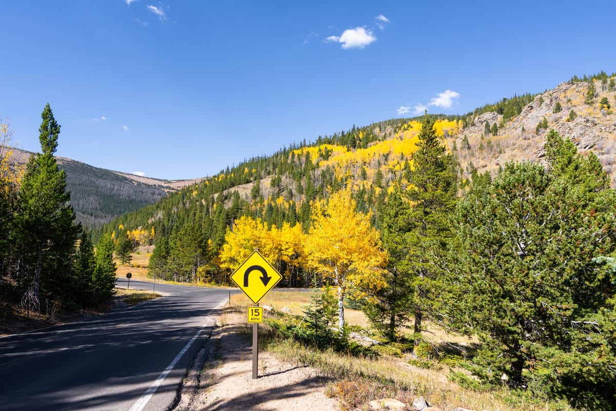 Photo by Frank Schrader · CC Pexels License undefined
Which scenic byways have the richest roadside history you can hear from the car?
Five U.S. scenic byways where the history is visible—and audible—right from the road, with sample audio topics for a no-detour drive.
You want history without detours. Pick roads built to be read from the seat.
If you don’t want to hop out at every turnout, choose byways designed with mileposts, waysides, and obvious roadside features. Federal and state programs encourage putting interpretation where the view is, not buried in a museum brochure. The National Scenic Byways Program (FHWA) expects corridor plans to inventory and interpret “intrinsic qualities” at or near the roadway, and the National Park Service literally designs roadside exhibits to be short and view-specific, the same format that works for in‑car narration (NPS Wayside Exhibit guidance).
Here are five U.S. drives where the history is easy to see or hear without leaving the lane, plus sample snippets Lore would read aloud as you go.
Blue Ridge Parkway: mileposts, overlooks, and an open‑book on mountain engineering
The Blue Ridge Parkway is a continuous, NPS‑managed scenic road stretching 469 miles along the ridges of Virginia and North Carolina. It was designed to be interpreted from the car—mileposts, named overlooks, and waysides line up the story with your windshield. The NPS documents how its construction, from early CCC work to Mission 66 era upgrades, is legible right from the pavement (NPS Blue Ridge Parkway construction history).
What you’ll “read” from the road
- Linn Cove Viaduct: a sweeping, last‑built segment that tiptoes along Grandfather Mountain—an excuse to talk about segmental construction and why the road floats above fragile slopes (NPS Blue Ridge Parkway construction history).
- The Loops Overlook: stacked switchbacks engineered to gain elevation gracefully—cue a quick riff on landscape architecture and planned vistas.
- CCC fingerprints: stone guardwalls, rustic overlooks, and viewlines clipped like museum dioramas—human‑made nature with a purpose.
Sample snippets Lore would read
- “On your right, a road that refuses to scar the mountain—Linn Cove Viaduct. Engineers stitched it together from the ends inward so equipment never scraped Grandfather Mountain.”
- “See those tidy stone guardwalls? That’s Civilian Conservation Corps handiwork, built to look old the day it was laid.”
How long you’ll stay “in story”
- The Parkway’s rhythm is milepost to milepost. Expect clusters of overlooks where narration stays relevant for extended stretches, then calmer gaps through forested runs. You won’t need detours; most stories sit directly on the shoulder or within the view.
Natchez Trace Parkway: 10,000 years of travel, stitched to the shoulder
The Natchez Trace Parkway spans 444 miles across Mississippi, Alabama, and Tennessee. The NPS frames it as commemorating “10,000 years of travel,” with waysides and short trails keyed to specific mileposts. Indigenous pathways, traders’ camps, early U.S. Army logistics, and Civil War episodes are interpreted right at the road (NPS Natchez Trace history & culture).
What you’ll “read” from the road
- The Old Trace: visible swales and alignments running beside the modern ribbon—evidence of thousands of footsteps packing clay.
- Stands and ferries: roadside pullouts mark inns and river crossings where Kaintucks slept rough after floating goods down to Natchez.
- War stories in place: markers tie skirmishes and troop movements to the terrain you’re cruising now.
Sample snippets Lore would read
- “Notice the trench‑like dip paralleling the asphalt? That’s the Old Trace—centuries of travelers compacted the earth into a permanent crease.”
- “Imagine drifting lumber to Natchez, selling the boat for scrap, and walking home. Those ‘stands’ ahead—frontier motels with snoring included.”
How long you’ll stay “in story”
- The Trace serves up frequent, milepost‑tied stops and visible earthworks. You’ll get steady narration in segments where the Old Trace skirts the roadway, with quick pauses between clusters.
Historic Columbia River Highway: waterfalls and a road that teaches as it curves
Built in the 1910s–1920s as a purpose‑made scenic drive, Oregon’s Historic Columbia River Highway was engineered to showcase geology, waterfalls, and feats like Crown Point/Vista House. The core byway runs about 70 miles, and several major falls—Latourell, Shepperd’s Dell, Bridal Veil, Wahkeena, Multnomah—appear one after another along short roadside stretches, often directly out your window or from signed overlooks (Travel Oregon).
What you’ll “read” from the road
- Crown Point/Vista House: an intentional “ta‑da” moment in masonry, built to frame the Columbia Gorge like a postcard.
- A waterfall gauntlet: plume after plume near the shoulder, each with its own basalt‑and‑spray story.
- Curves with a thesis: sweeping turns and viaducts that were laid out to reveal scenes in sequence.
Sample snippets Lore would read
- “Crown Point ahead—high drama in stone. The architect called it a temple to the river; your camera calls it easy mode.”
- “That step‑pattern cliff? Columnar basalt—ancient lava cooled into hexagons, now punctuated by Multnomah’s drop.”
How long you’ll stay “in story”
- Through the waterfall corridor, narration stays relevant almost continuously; each bend hands you the next viewpoint. Past the cluster, you’ll ride quiet stretches between landmark set‑pieces.
Big Sur on Highway 1: bridges and cliff‑edge drama you can scan at 55
California’s Pacific Coast Highway has a long construction saga with landmark bridges like Bixby that you can see from the deck or adjacent pullouts. The Federal Highway Administration recounts the route’s history and iconic spans in context of the coast‑hugging build (FHWA on Highway One). The stretch commonly called the Big Sur Coast Highway runs roughly 71–72 miles, where bridges, chasms, and cultural notes (authors, artists, and tightly knit coastal communities) are all roadside‑visible.
What you’ll “read” from the road
- Bixby Creek Bridge: a concrete postcard with an arch that practically narrates itself.
- Cliff‑hugging grades: why the road corkscrews instead of blasting tunnels; the maintenance dance with slides and storms.
- Creative exiles: the people who holed up on this edge—writers, artists—name‑checked as the coast swings into view.
Sample snippets Lore would read
- “Bixby ahead—an open‑spandrel arch from the 1930s, poured when getting concrete here meant a convoy and a prayer.”
- “These curves aren’t showing off. They’re the only way a highway clings to a crumbly, wave‑gnawed cliff.”
How long you’ll stay “in story”
- Expect bursts tied to major bridges, headlands, and viewpoints, then meditative gaps with ocean on repeat. Pullouts are spaced out; the views don’t need detours, but the safe places to pause are sparser than on parkways.
Route 66: America’s curb‑level museum—neon, motor courts, and diners in plain sight
The Route 66 corridor—roughly 2,400–2,448 miles depending on alignment—isn’t a single byway but a chain of roadside history. Academic and NPS‑aligned work highlights its built environment: service stations, neon signs, motor courts, drive‑ins, and small‑town main streets that front the pavement. Much of the story sits at the curb; you can read it rolling past marquees and façades without leaving the lane (Oxford academic chapter on Route 66).
What you’ll “read” from the road
- Neon narratives: motel signs that encode car culture and local competition.
- Main Street America: courthouse squares and business districts that reoriented when the highway came through.
- Stations and diners: Art Deco pumps, Streamline Moderne corners, and chrome‑and‑tile time capsules.
Sample snippets Lore would read
- “That googie‑style motel sign? An arrow for the tired driver’s brain—sleep, pool, vacancy, all in four shapes and a flicker.”
- “See how storefronts face the asphalt? That’s a town rewired for passing traffic—windows became billboards.”
How long you’ll stay “in story”
- In town and through preserved strips, narration stays lively block by block. Between towns, you’ll get occasional hits—roadside giants, abandoned courts—then quiet horizons until the next main drag.
How long does the narration stay relevant on these drives?
Short and place‑tied beats long and meandering. That’s not just a radio producer’s quirk; it’s how roadside interpretation is designed. NPS guidance for wayside exhibits is all about concise, view‑specific text placed where the sight and story intersect (NPS Wayside Exhibit guidance). The FHWA’s byways program backs the same idea at the corridor level by encouraging interpretation near the road (National Scenic Byways Program (FHWA)).
Practically, you’ll get clusters of back‑to‑back snippets in spots with dense sights—Blue Ridge overlooks, Columbia Gorge waterfalls, Route 66 town centers—then calmer spans where the story resets for the next landmark. On parkways with frequent mileposts and designed overlooks, narration stays on‑topic for extended sequences. On cliff roads like Big Sur, the drama is constant but the specific stories pop at bridges and headlands. You won’t need to leave the highway to keep learning, but you will hear the pacing change with the landscape.
Can I learn real local history while driving without detouring?
Yes—if the road was built, signed, and managed for it. That’s the common thread above: these corridors were either purpose‑built as scenic roads with interpretation (Blue Ridge, Historic Columbia River Highway), managed by the NPS with milepost‑tied waysides (Natchez Trace), or are cultural corridors where the artifacts live at the curb (Route 66). The interpretive infrastructure is already roadside, which is exactly what makes them ideal for in‑car narration (NPS Wayside Exhibit guidance; National Scenic Byways Program (FHWA)).
If you’d like a narrator while you drive, LoreRoad is built for this. It surfaces location‑aware stories about history, landmarks, roadside oddities, food, and local legends, and reads them aloud as you pass them so the driver keeps eyes on the road. You can see how the location‑triggered stories work on the Facts page, and you can meet Lore—your witty AI co‑pilot with a real, human voice—on the Lore page.
Quick planner’s checklist for a history‑first drive
- Favor routes with mileposts, named overlooks, or documented roadside waysides. The Blue Ridge and Natchez Trace have them in spades (NPS Blue Ridge Parkway construction history; NPS Natchez Trace history & culture).
- Look for byways with built‑in sequences of visible features—Columbia Gorge waterfalls, Big Sur bridges—so each turn cues a new story (Travel Oregon; FHWA on Highway One).
- In towns along Route 66, slow to posted limits through main streets. The history is painted on brick and neon right beside you (Oxford academic chapter on Route 66).
- Expect narration to come in bursts where the sights are dense, then breathe during transition miles—matching how byways were planned to be experienced (NPS Wayside Exhibit guidance).
Want to keep the whole car engaged between the history hits? LoreRoad also includes a full library of road‑trip games for passengers; peek at the lineup on Games.
Common questions
Which scenic byways pack the most history you can hear from the car?
Blue Ridge Parkway, Natchez Trace Parkway, Oregon’s Historic Columbia River Highway, California’s Highway 1 through Big Sur, and the Route 66 corridor. Each has roadside interpretive infrastructure or curbside artifacts documented by NPS, FHWA, or state tourism sources.
Do I have to pull off or hike to learn on these routes?
No. These corridors were planned to be interpreted near the road—mileposts, overlooks, waysides, bridges, town main streets. You can hear accurate, place‑tied stories without detouring, and stop only if you want a linger‑longer view.
What kind of short stories work while driving?
View‑specific vignettes: a bridge’s construction trick as you cross it, a waterfall’s geology as it comes into view, a town’s roadside neon language as you roll through. NPS wayside guidance favors concise, viewpoint‑tied stories that translate perfectly to in‑car narration.
How long does narration stay relevant before it changes?
Expect clusters of brief, view‑specific snippets where sights are dense—overlooks, waterfall corridors, town main streets—then quieter spans until the next landmark. That pacing mirrors how byways and waysides are designed.
LoreRoad tells you the history behind every mile — surfaced as you reach it and read aloud, so the driver never looks down.
Get the appSources (8)
- Construction of the Parkway - Blue Ridge Parkway (U.S. National Park Service)
- History & Culture - Natchez Trace Parkway (U.S. National Park Service)
- Historic Columbia River Highway | Columbia River Map (Travel Oregon)
- California's Pacific Coast Highway-Highway One | FHWA
- The History of Route 66 | Oxford Research Encyclopedia of American History
- Biden-Harris Administration Announces 33 New Projects Through the National Scenic Byways Program as Part of Investing in America Agenda | FHWA
- Wayside Exhibits (National Park Service guidance)
- Big Sur Coast Highway (Wikipedia) — (use only for route extent; primary FHWA source also cited above)